- This event has passed.
Webinar: using satellite imagery to track data centers and land use
February 24 @ 1:00 pm - 2:00 pm EST
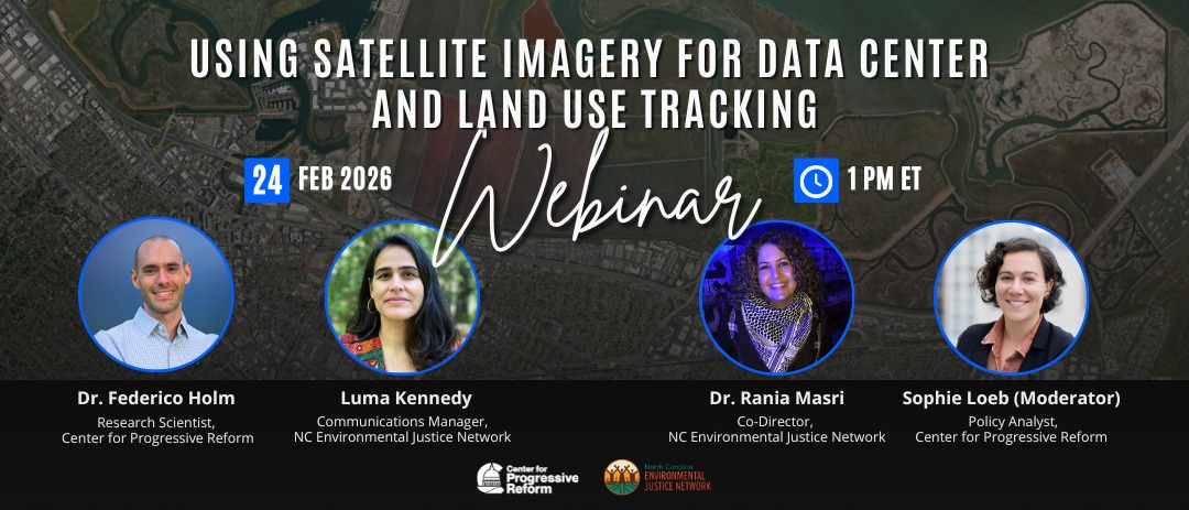
Register: Join NCEJN and The Center for Progressive Reform on Tuesday, February 24 • 1 PM for a webinar on using satellite imagery to track data centers and land use. [NCEJN will be presenting case studies of proposed data centers in Edgecombe County & Wake County] Learn the basics, explore an open-source pipeline, and see real case studies in action. Perfect for anyone looking to get started with satellite imagery and GIS tools